Map library
When texts and maps go hand in hand!
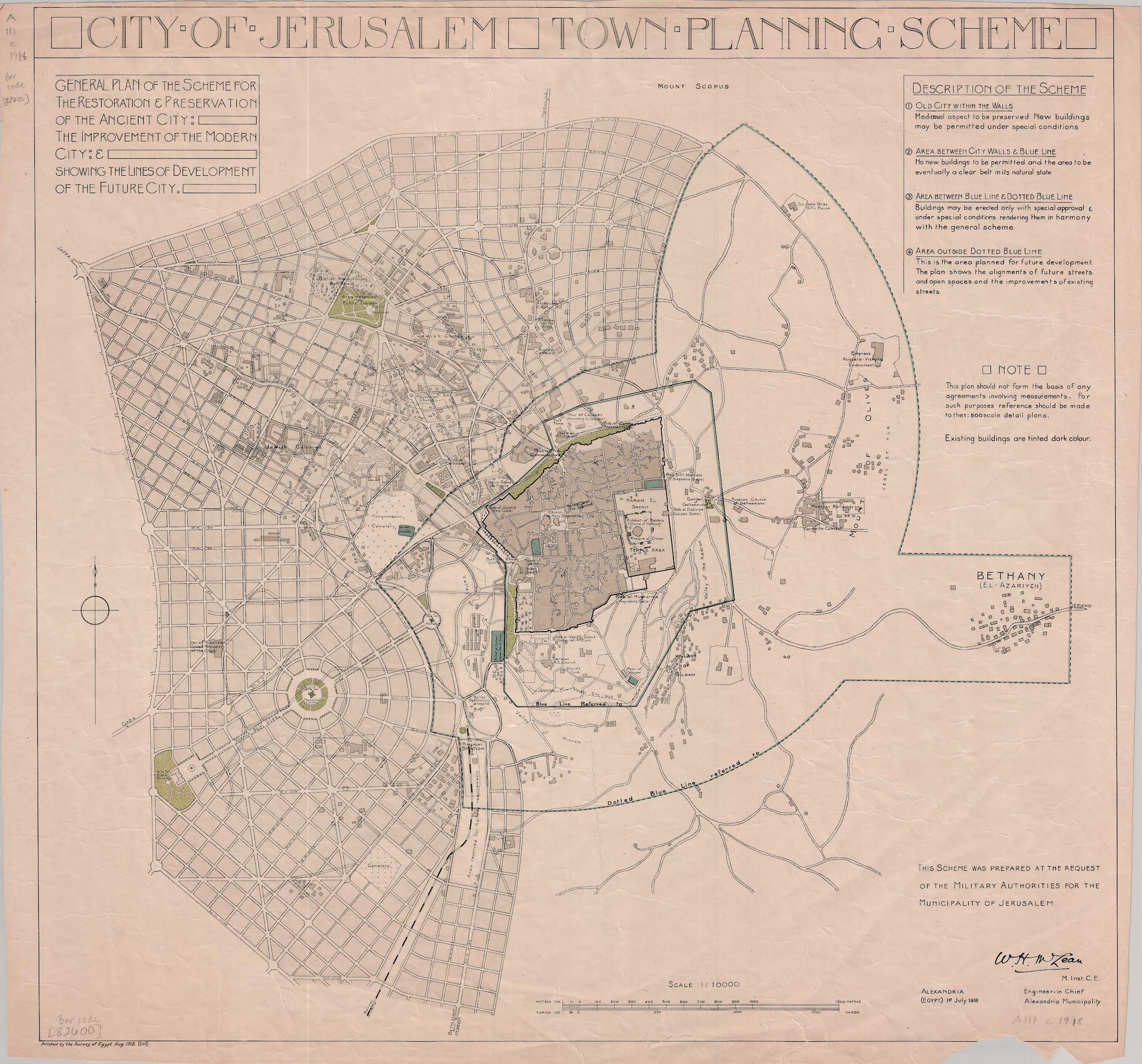
The map library of the École Biblique et Archéologique Française contains around 2,500 documents.
They relate in particular to the eastern part of the Mediterranean basin and the Arabian Peninsula, dating from the early 19th century to the present day. They include maps of Jerusalem, geological maps of the Levant, handwritten surveys of archaeological sites carried out by the École Polytechnique fathers, and a Pilgrim’s Map of the Holy Land, as well as part of the Survey of Palestine series and many other current cartographic documents (updated 2020-2024).
A large part of the collection is listed in the library’s online catalogue for free: https://biblio.ebaf.edu/cgi-bin/koha/opac-main.pl
The digitisation work currently underway needs to be supported (the dream of a digital map library).
Consultation upon request from the librarian.